Murmansk to Tomsk Flight Time, Distance, Route Map
Flight time from Murmansk, Russia to Tomsk, Russia is 3 hours 33 minutes under avarage conditions. Our flight time calculator assumes an average flight speed for a commercial airliner of 500 mph, which is equivalent to 805 km/hr or 434 knots. Actual flight times may vary depending on aircraft type, cruise speed, routing, weather conditions, passenger load, and other factors.
What is the Flight Distance Between Murmansk and Tomsk?
The flight distance from Murmansk (Russia) to Tomsk (Russia) is 1781 miles. This is equivalent to 2865 kilometers or 1546 nautical miles. The calculated distance (air line) is the straight line distance or direct flight distance between cities. The nearest airport to Murmansk, is Murmansk Airport (MMK) and the nearest airport to Tomsk, is Kemerovo Airport (KEJ).
Murmansk - Tomsk Timezones & Time Difference
Current local time in Murmansk is 2025-07-29, 12:43:37 MSK
Current local time in Tomsk is 2025-07-29, 16:43:37 +07.
Time difference between Murmansk (Russia) and Tomsk (Russia) is 4 Hours.
Tomsk time is 4 Hours ahead of Murmansk.
Murmansk to Tomsk Flight Route Map
Flight map from Murmansk, Russia to Tomsk, Russia is given below.Click the map to view Murmansk to Tomsk nonstop flight path and travel direction.
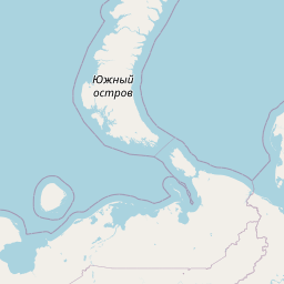  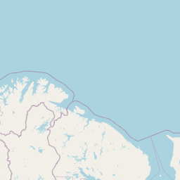      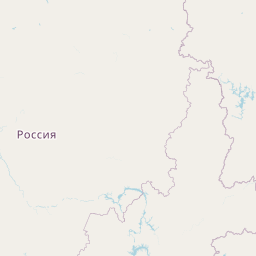   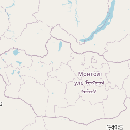  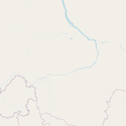      Leaflet | © OpenStreetMap The distance between cities calculated based on their latitudes and longitudes. This is also called distance as the crow flies. Bird flight distance is calculated by drawing a straight line between two point coordinates. The length of this drawn line will give the shortest distance value. This distance may be very much different from the actual travel distance. Murmansk GPS Coordinates: Latitude: N 68° 58' 23.9'' Longitude: E 33° 5' 8.1'' Tomsk GPS Coordinates: Latitude: N 56° 29' 18.3'' Longitude: E 84° 56' 53'' Murmansk Map, Where is Murmansk located? Tomsk Map, Where is Tomsk located? |
Popular Searches from Murmansk
- Murmansk to Tokyo flight time, duration and distance
- Murmansk to Tomsk flight time, duration and distance
- Murmansk to Phuket flight time, duration and distance
- Murmansk to New York flight time, duration and distance
- Murmansk to Saint Petersburg flight time, duration and distance
- Murmansk to Saint Petersburg flight time, duration and distance
- Murmansk to Sheremet'evo flight time, duration and distance
- Murmansk to Magadan flight time, duration and distance
- Murmansk to Nizhny Novgorod flight time, duration and distance
- Murmansk to Sheremet'evo flight time, duration and distance
- Murmansk to Orenburg flight time, duration and distance
- Murmansk to Karaganda flight time, duration and distance
- Murmansk to Karaganda flight time, duration and distance
- Murmansk to Orenburg flight time, duration and distance
- Murmansk to Orenburg flight time, duration and distance
- Murmansk to Karaganda flight time, duration and distance
- Murmansk to Baku flight time, duration and distance
- Murmansk to Saint Petersburg flight time, duration and distance
Popular Searches from Tomsk
- Tomsk to Yekaterinburg flight time, duration and distance
- Tomsk to Krasnoyarsk flight time, duration and distance
- Tomsk to Irkutsk flight time, duration and distance
- Tomsk to Yuzhno-Sakhalinsk flight time, duration and distance
- Tomsk to Petropavlovsk-Kamchatskiy flight time, duration and distance
- Tomsk to Novosibirsk flight time, duration and distance
- Tomsk to Saint Petersburg flight time, duration and distance