Murmansk to Tokyo Flight Time, Distance, Route Map
Flight time from Murmansk, Russia to Tokyo, Japan is 8 hours 38 minutes under avarage conditions. Our flight time calculator assumes an average flight speed for a commercial airliner of 500 mph, which is equivalent to 805 km/hr or 434 knots. Actual flight times may vary depending on aircraft type, cruise speed, routing, weather conditions, passenger load, and other factors.
What is the Flight Distance Between Murmansk and Tokyo?
The flight distance from Murmansk (Russia) to Tokyo (Japan) is 4320 miles. This is equivalent to 6953 kilometers or 3752 nautical miles. The calculated distance (air line) is the straight line distance or direct flight distance between cities. The nearest airport to Murmansk, is Murmansk Airport (MMK) and the nearest airport to Tokyo, is Tokyo Haneda International Airport (HND).
Murmansk - Tokyo Timezones & Time Difference
Current local time in Murmansk is 2025-07-28, 04:40:56 MSK
Current local time in Tokyo is 2025-07-28, 10:40:56 JST.
Time difference between Murmansk (Russia) and Tokyo (Japan) is 6 Hours.
Tokyo time is 6 Hours ahead of Murmansk.
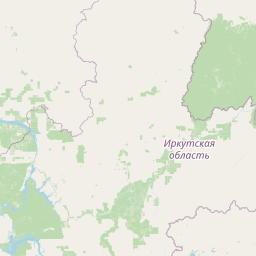
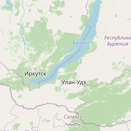
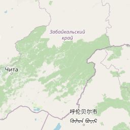
Murmansk to Tokyo Flight Route Map
Flight map from Murmansk, Russia to Tokyo, Japan is given below.Click the map to view Murmansk to Tokyo nonstop flight path and travel direction.
             Leaflet | © OpenStreetMap The distance between cities calculated based on their latitudes and longitudes. This is also called distance as the crow flies. Bird flight distance is calculated by drawing a straight line between two point coordinates. The length of this drawn line will give the shortest distance value. This distance may be very much different from the actual travel distance. Murmansk GPS Coordinates: Latitude: N 68° 58' 23.9'' Longitude: E 33° 5' 8.1'' Tokyo GPS Coordinates: Latitude: N 35° 42' 32.5'' Longitude: E 139° 43' 55.2'' Murmansk Map, Where is Murmansk located? Tokyo Map, Where is Tokyo located? |
Popular Searches from Murmansk
- Murmansk to Tokyo flight time, duration and distance
- Murmansk to Tomsk flight time, duration and distance
- Murmansk to Phuket flight time, duration and distance
- Murmansk to New York flight time, duration and distance
- Murmansk to Saint Petersburg flight time, duration and distance
- Murmansk to Saint Petersburg flight time, duration and distance
- Murmansk to Sheremet'evo flight time, duration and distance
- Murmansk to Magadan flight time, duration and distance
- Murmansk to Nizhny Novgorod flight time, duration and distance
- Murmansk to Sheremet'evo flight time, duration and distance
- Murmansk to Orenburg flight time, duration and distance
- Murmansk to Karaganda flight time, duration and distance
- Murmansk to Karaganda flight time, duration and distance
- Murmansk to Orenburg flight time, duration and distance
- Murmansk to Orenburg flight time, duration and distance
- Murmansk to Karaganda flight time, duration and distance
- Murmansk to Baku flight time, duration and distance
- Murmansk to Saint Petersburg flight time, duration and distance
Popular Searches from Tokyo
- Tokyo to Manila flight time, duration and distance
- Tokyo to Paris flight time, duration and distance
- Tokyo to Brussels flight time, duration and distance
- Tokyo to Honolulu flight time, duration and distance
- Tokyo to Anchorage flight time, duration and distance
- Tokyo to Dallas flight time, duration and distance
- Tokyo to Qingdao flight time, duration and distance
- Tokyo to Panama City flight time, duration and distance
- Tokyo to Singapore flight time, duration and distance
- Tokyo to Singapore flight time, duration and distance
- Tokyo to Los Angeles flight time, duration and distance
- Tokyo to San Francisco flight time, duration and distance
- Tokyo to Seattle flight time, duration and distance
- Tokyo to Minneapolis flight time, duration and distance
- Tokyo to Minneapolis flight time, duration and distance
- Tokyo to San Francisco flight time, duration and distance
- Tokyo to Los Angeles flight time, duration and distance
- Tokyo to Hong Kong flight time, duration and distance
- Tokyo to Honolulu flight time, duration and distance
- Tokyo to Kagoshima flight time, duration and distance