Vienna to Kraków Flight Time, Distance, Route Map
Flight time from Vienna, Austria to Kraków, Poland is 0 hours 24 minutes under avarage conditions. Our flight time calculator assumes an average flight speed for a commercial airliner of 500 mph, which is equivalent to 805 km/hr or 434 knots. Actual flight times may vary depending on aircraft type, cruise speed, routing, weather conditions, passenger load, and other factors.
What is the Flight Distance Between Vienna and Kraków?
The flight distance from Vienna (Austria) to Kraków (Poland) is 207 miles. This is equivalent to 332 kilometers or 180 nautical miles. The calculated distance (air line) is the straight line distance or direct flight distance between cities. The nearest airport to Vienna, is Vienna International Airport (VIE) and the nearest airport to Kraków, is J. Paul II Balice International Airport (KRK).
Vienna - Kraków Timezones & Time Difference
Current local time in Vienna is 2025-08-01, 02:22:12 CEST
Current local time in Kraków is 2025-08-01, 02:22:12 CEST.
Time difference between Vienna (Austria) and Kraków (Poland) is 0 Hours.
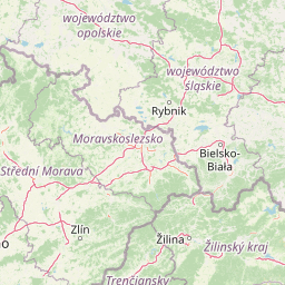
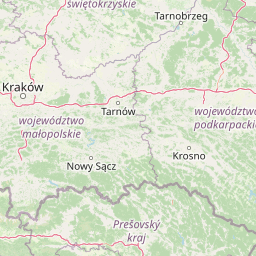
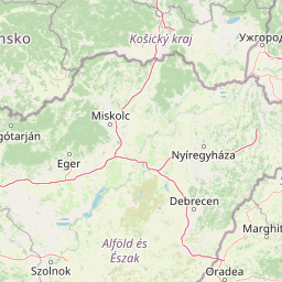
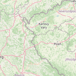
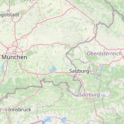
Vienna to Kraków Flight Route Map
Flight map from Vienna, Austria to Kraków, Poland is given below.Click the map to view Vienna to Kraków nonstop flight path and travel direction.
        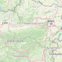       Leaflet | © OpenStreetMap The distance between cities calculated based on their latitudes and longitudes. This is also called distance as the crow flies. Bird flight distance is calculated by drawing a straight line between two point coordinates. The length of this drawn line will give the shortest distance value. This distance may be very much different from the actual travel distance. Vienna GPS Coordinates: Latitude: N 48° 12' 29.4'' Longitude: E 16° 22' 25.7'' Kraków GPS Coordinates: Latitude: N 50° 3' 52.7'' Longitude: E 19° 56' 41.9'' Vienna Map, Where is Vienna located? Kraków Map, Where is Kraków located? |
Popular Searches from Vienna
- Vienna to Malé flight time, duration and distance
- Vienna to Graz flight time, duration and distance
- Vienna to Amman flight time, duration and distance
- Vienna to London flight time, duration and distance
- Vienna to Zürich flight time, duration and distance
- Vienna to Auckland flight time, duration and distance
- Vienna to Podgorica flight time, duration and distance
- Vienna to Larnaca flight time, duration and distance
- Vienna to Toronto flight time, duration and distance
- Vienna to London flight time, duration and distance
- Vienna to Toulon flight time, duration and distance
- Vienna to Doha flight time, duration and distance
- Vienna to Frankfurt am Main flight time, duration and distance
- Vienna to Prnjavor Mali flight time, duration and distance
- Vienna to Prague flight time, duration and distance
- Vienna to Paris flight time, duration and distance
- Vienna to Rix flight time, duration and distance
- Vienna to Colombo flight time, duration and distance
- Vienna to Colombo flight time, duration and distance
- Vienna to San José flight time, duration and distance
Popular Searches from Kraków
- Kraków to Perth flight time, duration and distance
- Kraków to George Town flight time, duration and distance
- Kraków to Miami flight time, duration and distance
- Kraków to New York flight time, duration and distance
- Kraków to Manila flight time, duration and distance
- Kraków to Ho Chi Minh City flight time, duration and distance
- Kraków to Kuala Lumpur flight time, duration and distance
- Kraków to Malé flight time, duration and distance
- Kraków to Maldive Village flight time, duration and distance
- Kraków to Plaine Magnien flight time, duration and distance
- Kraków to Antananarivo flight time, duration and distance
- Kraków to Seoul flight time, duration and distance
- Kraków to Koh Samui flight time, duration and distance
- Kraków to Bangkok flight time, duration and distance
- Kraków to Dubai flight time, duration and distance
- Kraków to Doha flight time, duration and distance
- Kraków to Colombo flight time, duration and distance
- Kraków to New Delhi flight time, duration and distance
- Kraków to Shanghai flight time, duration and distance
- Kraków to Beijing flight time, duration and distance