Sydney to Port Louis Flight Time, Distance, Route Map
Flight time from Sydney, Australia to Port Louis, Mauritius is 11 hours 19 minutes under avarage conditions. Our flight time calculator assumes an average flight speed for a commercial airliner of 500 mph, which is equivalent to 805 km/hr or 434 knots. Actual flight times may vary depending on aircraft type, cruise speed, routing, weather conditions, passenger load, and other factors.
What is the Flight Distance Between Sydney and Port Louis?
The flight distance from Sydney (Australia) to Port Louis (Mauritius) is 5656 miles. This is equivalent to 9102 kilometers or 4912 nautical miles. The calculated distance (air line) is the straight line distance or direct flight distance between cities. The nearest airport to Sydney, is Kingsford Smith Airport (SYD) and the nearest airport to Port Louis, is Sir Seewoosagur Ramgoolam International Airport (MRU).
Sydney - Port Louis Timezones & Time Difference
Current local time in Sydney is 2025-08-14, 02:03:53 AEST
Current local time in Port Louis is 2025-08-13, 20:03:53 +04.
Time difference between Sydney (Australia) and Port Louis (Mauritius) is 6 Hours.
Port Louis time is 6 Hours behind Sydney.
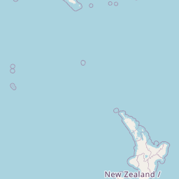
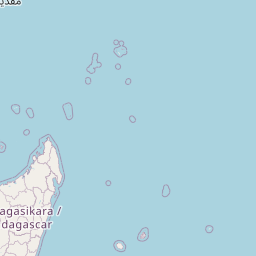
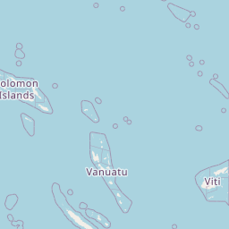
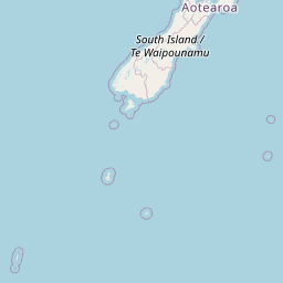
Sydney to Port Louis Flight Route Map
Flight map from Sydney, Australia to Port Louis, Mauritius is given below.Click the map to view Sydney to Port Louis nonstop flight path and travel direction.
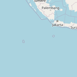   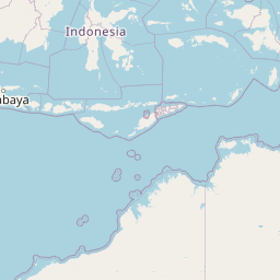  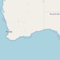   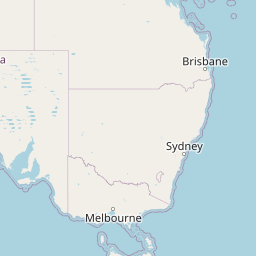           Leaflet | © OpenStreetMap The distance between cities calculated based on their latitudes and longitudes. This is also called distance as the crow flies. Bird flight distance is calculated by drawing a straight line between two point coordinates. The length of this drawn line will give the shortest distance value. This distance may be very much different from the actual travel distance. Sydney GPS Coordinates: Latitude: S 33° 52' 2.9'' Longitude: E 151° 12' 25.1'' Port Louis GPS Coordinates: Latitude: S 20° 9' 39.2'' Longitude: E 57° 30' 4.4'' Sydney Map, Where is Sydney located? Port Louis Map, Where is Port Louis located? |
Popular Searches from Sydney
- Sydney to Hobart flight time, duration and distance
- Sydney to Auckland flight time, duration and distance
- Sydney to San Francisco flight time, duration and distance
- Sydney to Johannesburg flight time, duration and distance
- Sydney to Barcelona flight time, duration and distance
- Sydney to Chennai flight time, duration and distance
- Sydney to New Zealand flight time, duration and distance
- Sydney to Vancouver flight time, duration and distance
- Sydney to Manila flight time, duration and distance
- Sydney to Singapore flight time, duration and distance
- Sydney to London flight time, duration and distance
- Sydney to Istanbul flight time, duration and distance
- Sydney to Mexico City flight time, duration and distance
- Sydney to Hong Kong flight time, duration and distance
- Sydney to Los Angeles flight time, duration and distance
- Sydney to Singapore flight time, duration and distance
- Sydney to Hong Kong flight time, duration and distance
- Sydney to New York flight time, duration and distance
- Sydney to London flight time, duration and distance
- Sydney to Fairbanks flight time, duration and distance
Popular Searches from Port Louis
- Port Louis to London flight time, duration and distance
- Port Louis to New York flight time, duration and distance
- Port Louis to Lusaka flight time, duration and distance
- Port Louis to Reykjavík flight time, duration and distance
- Port Louis to Tema flight time, duration and distance
- Port Louis to Santiago flight time, duration and distance
- Port Louis to London flight time, duration and distance
- Port Louis to San Juan flight time, duration and distance
- Port Louis to Riyadh Al Khabra flight time, duration and distance