Reno to Monterey Flight Time, Distance, Route Map
Flight time from Reno, United States to Monterey, United States is 0 hours 27 minutes under avarage conditions. Our flight time calculator assumes an average flight speed for a commercial airliner of 500 mph, which is equivalent to 805 km/hr or 434 knots. Actual flight times may vary depending on aircraft type, cruise speed, routing, weather conditions, passenger load, and other factors.
What is the Flight Distance Between Reno and Monterey?
The flight distance from Reno (United States) to Monterey (United States) is 232 miles. This is equivalent to 374 kilometers or 202 nautical miles. The calculated distance (air line) is the straight line distance or direct flight distance between cities. The nearest airport to Reno, is Reno/Tahoe International Airport (RNO) and the nearest airport to Monterey, is Monterey Peninsula Airport (MRY).
Reno - Monterey Timezones & Time Difference
Current local time in Reno is 2025-08-31, 19:48:25 MDT
Current local time in Monterey is 2025-08-31, 18:48:25 PDT.
Time difference between Reno (United States) and Monterey (United States) is 1 Hours.
Monterey time is 1 Hours behind Reno.
Reno to Monterey Flight Route Map
Flight map from Reno, United States to Monterey, United States is given below.Click the map to view Reno to Monterey nonstop flight path and travel direction.
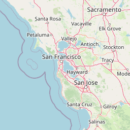 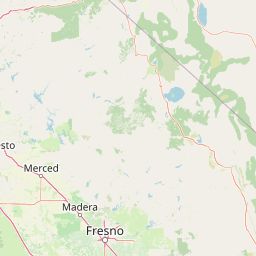  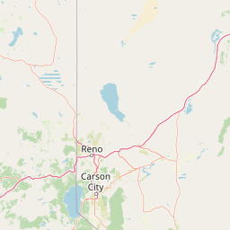 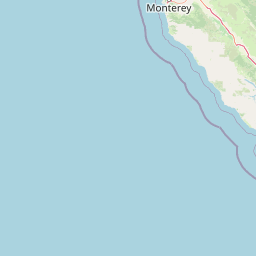 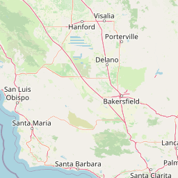  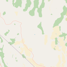 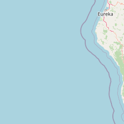 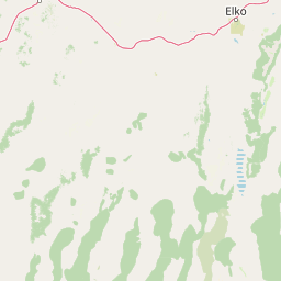  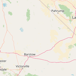  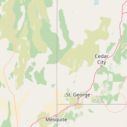  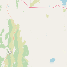    Leaflet | © OpenStreetMap The distance between cities calculated based on their latitudes and longitudes. This is also called distance as the crow flies. Bird flight distance is calculated by drawing a straight line between two point coordinates. The length of this drawn line will give the shortest distance value. This distance may be very much different from the actual travel distance. Reno GPS Coordinates: Latitude: N 39° 31' 46.7'' Longitude: W 119° 48' 49.7'' Monterey GPS Coordinates: Latitude: N 36° 36' 0.9'' Longitude: W 121° 53' 40.8'' Reno Map, Where is Reno located? Monterey Map, Where is Monterey located? |
Popular Searches from Reno
- Reno to Nampa flight time, duration and distance
- Reno to Nampa flight time, duration and distance
- Reno to Taipei flight time, duration and distance
- Reno to London flight time, duration and distance
- Reno to Denver flight time, duration and distance
- Reno to Richmond flight time, duration and distance
- Reno to Danbury flight time, duration and distance
- Reno to Honolulu flight time, duration and distance
- Reno to Los Angeles flight time, duration and distance
- Reno to Seattle flight time, duration and distance
- Reno to Phoenix flight time, duration and distance
- Reno to Las Vegas flight time, duration and distance
- Reno to Orlando flight time, duration and distance
- Reno to Anaheim flight time, duration and distance
- Reno to San Francisco flight time, duration and distance
- Reno to Henderson flight time, duration and distance
- Reno to Guangzhou flight time, duration and distance
- Reno to Los Angeles flight time, duration and distance
- Reno to Lisbon flight time, duration and distance
Popular Searches from Monterey
- Monterey to Valencia flight time, duration and distance
- Monterey to Honolulu flight time, duration and distance
- Monterey to Charlotte flight time, duration and distance
- Monterey to Burlington flight time, duration and distance
- Monterey to Burlington flight time, duration and distance
- Monterey to Wellington flight time, duration and distance
- Monterey to Buenos Aires flight time, duration and distance
- Monterey to Bridgeport flight time, duration and distance
- Monterey to Bridgeport flight time, duration and distance
- Monterey to Buenos Aires flight time, duration and distance
- Monterey to Honolulu flight time, duration and distance
- Monterey to Kailua-Kona flight time, duration and distance
- Monterey to San Francisco flight time, duration and distance
- Monterey to Fort Myers flight time, duration and distance
- Monterey to Wellington flight time, duration and distance
- Monterey to Wellington flight time, duration and distance
- Monterey to Anchorage flight time, duration and distance
- Monterey to Valencia flight time, duration and distance
- Monterey to Athens flight time, duration and distance