Minneapolis to Sioux Falls Flight Time, Distance, Route Map
Flight time from Minneapolis, United States to Sioux Falls, United States is 0 hours 23 minutes under avarage conditions. Our flight time calculator assumes an average flight speed for a commercial airliner of 500 mph, which is equivalent to 805 km/hr or 434 knots. Actual flight times may vary depending on aircraft type, cruise speed, routing, weather conditions, passenger load, and other factors.
What is the Flight Distance Between Minneapolis and Sioux Falls?
The flight distance from Minneapolis (United States) to Sioux Falls (United States) is 198 miles. This is equivalent to 319 kilometers or 172 nautical miles. The calculated distance (air line) is the straight line distance or direct flight distance between cities. The nearest airport to Minneapolis, is St Paul International Airport (MSP) and the nearest airport to Sioux Falls, is Sioux Falls Regional Airport (Jo Foss Field) (FSD).
Minneapolis - Sioux Falls Timezones & Time Difference
Current local time in Minneapolis is 2025-08-20, 12:55:22 CDT
Current local time in Sioux Falls is 2025-08-20, 12:55:22 CDT.
Time difference between Minneapolis (United States) and Sioux Falls (United States) is 0 Hours.
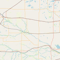
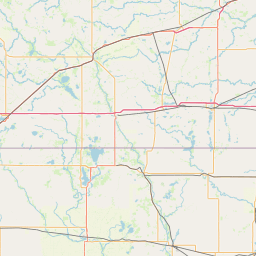
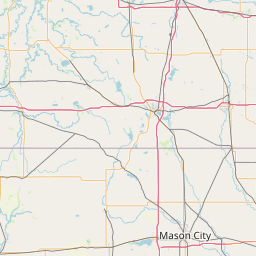
Minneapolis to Sioux Falls Flight Route Map
Flight map from Minneapolis, United States to Sioux Falls, United States is given below.Click the map to view Minneapolis to Sioux Falls nonstop flight path and travel direction.
    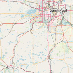    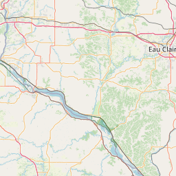  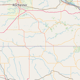  Leaflet | © OpenStreetMap The distance between cities calculated based on their latitudes and longitudes. This is also called distance as the crow flies. Bird flight distance is calculated by drawing a straight line between two point coordinates. The length of this drawn line will give the shortest distance value. This distance may be very much different from the actual travel distance. Minneapolis GPS Coordinates: Latitude: N 44° 58' 39.9'' Longitude: W 93° 15' 54'' Sioux Falls GPS Coordinates: Latitude: N 43° 32' 50.3'' Longitude: W 96° 43' 42'' Minneapolis Map, Where is Minneapolis located? Sioux Falls Map, Where is Sioux Falls located? |
Popular Searches from Minneapolis
- Minneapolis to Copenhagen flight time, duration and distance
- Minneapolis to Providence flight time, duration and distance
- Minneapolis to Missoula flight time, duration and distance
- Minneapolis to Chicago flight time, duration and distance
- Minneapolis to Portland flight time, duration and distance
- Minneapolis to Amsterdam flight time, duration and distance
- Minneapolis to Rapid City flight time, duration and distance
- Minneapolis to Danville flight time, duration and distance
- Minneapolis to Danville flight time, duration and distance
- Minneapolis to Washington flight time, duration and distance
- Minneapolis to Melbourne flight time, duration and distance
- Minneapolis to Sydney flight time, duration and distance
- Minneapolis to Johannesburg flight time, duration and distance
- Minneapolis to Singapore flight time, duration and distance
- Minneapolis to Dover flight time, duration and distance
- Minneapolis to Memphis flight time, duration and distance
- Minneapolis to Phoenix flight time, duration and distance
- Minneapolis to San Diego flight time, duration and distance
- Minneapolis to Los Angeles flight time, duration and distance
- Minneapolis to Denver flight time, duration and distance
Popular Searches from Sioux Falls
- Sioux Falls to Minneapolis flight time, duration and distance
- Sioux Falls to Lansing flight time, duration and distance
- Sioux Falls to Paris flight time, duration and distance
- Sioux Falls to London flight time, duration and distance
- Sioux Falls to Middleton flight time, duration and distance
- Sioux Falls to Reno flight time, duration and distance
- Sioux Falls to Alexander City flight time, duration and distance
- Sioux Falls to Saint Paul flight time, duration and distance