Jakarta to Pontianak Flight Time, Distance, Route Map
Flight time from Jakarta, Indonesia to Pontianak, Indonesia is 0 hours 55 minutes under avarage conditions. Our flight time calculator assumes an average flight speed for a commercial airliner of 500 mph, which is equivalent to 805 km/hr or 434 knots. Actual flight times may vary depending on aircraft type, cruise speed, routing, weather conditions, passenger load, and other factors.
What is the Flight Distance Between Jakarta and Pontianak?
The flight distance from Jakarta (Indonesia) to Pontianak (Indonesia) is 461 miles. This is equivalent to 742 kilometers or 400 nautical miles. The calculated distance (air line) is the straight line distance or direct flight distance between cities. The nearest airport to Jakarta, is Halim Perdana Kusuma Airport (HLP) and the nearest airport to Pontianak, is Supadio Airport (PNK).
Jakarta - Pontianak Timezones & Time Difference
Current local time in Jakarta is 2025-07-30, 05:13:04 WIB
Current local time in Pontianak is 2025-07-30, 05:13:04 WIB.
Time difference between Jakarta (Indonesia) and Pontianak (Indonesia) is 0 Hours.
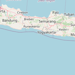
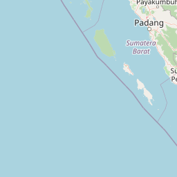
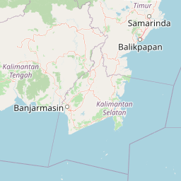
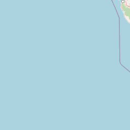
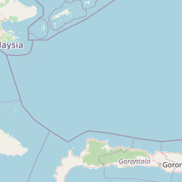
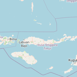
Jakarta to Pontianak Flight Route Map
Flight map from Jakarta, Indonesia to Pontianak, Indonesia is given below.Click the map to view Jakarta to Pontianak nonstop flight path and travel direction.
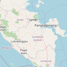 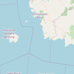  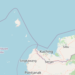 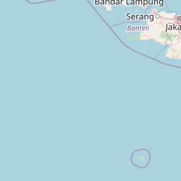    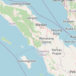 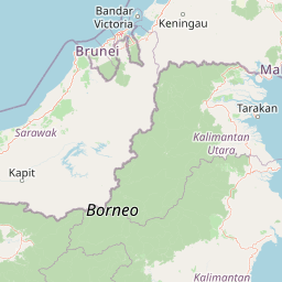          Leaflet | © OpenStreetMap The distance between cities calculated based on their latitudes and longitudes. This is also called distance as the crow flies. Bird flight distance is calculated by drawing a straight line between two point coordinates. The length of this drawn line will give the shortest distance value. This distance may be very much different from the actual travel distance. Jakarta GPS Coordinates: Latitude: S 6° 12' 31.5'' Longitude: E 106° 50' 44.2'' Pontianak GPS Coordinates: Latitude: S 0° 1' 34.8'' Longitude: E 109° 20' 33'' Jakarta Map, Where is Jakarta located? Pontianak Map, Where is Pontianak located? |
Popular Searches from Jakarta
- Jakarta to Manila flight time, duration and distance
- Jakarta to Pasay City flight time, duration and distance
- Jakarta to Denpasar Barat flight time, duration and distance
- Jakarta to Amsterdam flight time, duration and distance
- Jakarta to Almaty flight time, duration and distance
- Jakarta to Ulaanbaatar flight time, duration and distance
- Jakarta to Berlin flight time, duration and distance
- Jakarta to Kaliningrad flight time, duration and distance
- Jakarta to London flight time, duration and distance
- Jakarta to Kaliningrad flight time, duration and distance
- Jakarta to Bogor flight time, duration and distance
- Jakarta to Wellington flight time, duration and distance
- Jakarta to Saint Petersburg flight time, duration and distance
- Jakarta to Los Angeles flight time, duration and distance
- Jakarta to Miami flight time, duration and distance
- Jakarta to Newark flight time, duration and distance
- Jakarta to Medellín flight time, duration and distance
- Jakarta to Medellín flight time, duration and distance
Popular Searches from Pontianak
- Pontianak to Sintang flight time, duration and distance
- Pontianak to Singkawang flight time, duration and distance
- Pontianak to Sanggau flight time, duration and distance
- Pontianak to Sambas flight time, duration and distance
- Pontianak to Mempawah Hilir flight time, duration and distance
- Pontianak to Roman Catholic Diocese of Ketapang flight time, duration and distance
- Pontianak to Bengkayang flight time, duration and distance
- Pontianak to Singkawang flight time, duration and distance