Birmingham to Durban Flight Time, Distance, Route Map
Flight time from Birmingham, United Kingdom to Durban, South Africa is 12 hours 3 minutes under avarage conditions. Our flight time calculator assumes an average flight speed for a commercial airliner of 500 mph, which is equivalent to 805 km/hr or 434 knots. Actual flight times may vary depending on aircraft type, cruise speed, routing, weather conditions, passenger load, and other factors.
What is the Flight Distance Between Birmingham and Durban?
The flight distance from Birmingham (United Kingdom) to Durban (South Africa) is 6027 miles. This is equivalent to 9699 kilometers or 5234 nautical miles. The calculated distance (air line) is the straight line distance or direct flight distance between cities. The nearest airport to Birmingham, is Birmingham International Airport (BHX) and the nearest airport to Durban, is Virginia Airport (VIR).
Birmingham - Durban Timezones & Time Difference
Current local time in Birmingham is 2025-08-03, 10:01:48 BST
Current local time in Durban is 2025-08-03, 11:01:48 SAST.
Time difference between Birmingham (United Kingdom) and Durban (South Africa) is 1 Hours.
Durban time is 1 Hours ahead of Birmingham.
Birmingham to Durban Flight Route Map
Flight map from Birmingham, United Kingdom to Durban, South Africa is given below.Click the map to view Birmingham to Durban nonstop flight path and travel direction.
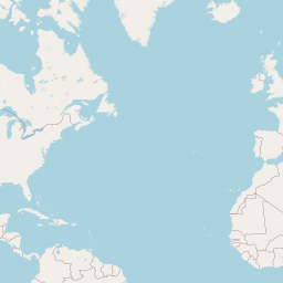 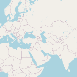 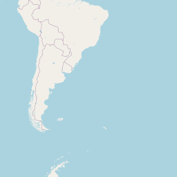 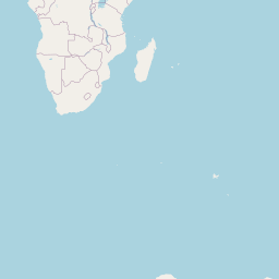      Leaflet | © OpenStreetMap The distance between cities calculated based on their latitudes and longitudes. This is also called distance as the crow flies. Bird flight distance is calculated by drawing a straight line between two point coordinates. The length of this drawn line will give the shortest distance value. This distance may be very much different from the actual travel distance. Birmingham GPS Coordinates: Latitude: N 52° 29' 10.5'' Longitude: W 1° 53' 25.4'' Durban GPS Coordinates: Latitude: S 29° 51' 31.2'' Longitude: E 31° 1' 18.6'' Birmingham Map, Where is Birmingham located? Durban Map, Where is Durban located? |
Popular Searches from Birmingham
- Birmingham to Copenhagen flight time, duration and distance
- Birmingham to Berlin flight time, duration and distance
- Birmingham to Douglas flight time, duration and distance
- Birmingham to Aberdeen flight time, duration and distance
- Birmingham to Düsseldorf flight time, duration and distance
- Birmingham to Munich flight time, duration and distance
- Birmingham to Dublin flight time, duration and distance
- Birmingham to Paris flight time, duration and distance
- Birmingham to Paris flight time, duration and distance
- Birmingham to Larnaca flight time, duration and distance
- Birmingham to Sharm El-Sheikh flight time, duration and distance
- Birmingham to İzmir flight time, duration and distance
- Birmingham to Dubai flight time, duration and distance
- Birmingham to Dubai flight time, duration and distance
- Birmingham to Frankfurt am Main flight time, duration and distance
- Birmingham to Dazhou flight time, duration and distance
- Birmingham to Kraków flight time, duration and distance
Popular Searches from Durban
- Durban to Johannesburg flight time, duration and distance
- Durban to Johannesburg flight time, duration and distance
- Durban to Johannesburg flight time, duration and distance
- Durban to Tanzania flight time, duration and distance
- Durban to Nouakchott flight time, duration and distance
- Durban to Guangzhou flight time, duration and distance
- Durban to Los Angeles flight time, duration and distance
- Durban to Lisbon flight time, duration and distance
- Durban to Livingstone flight time, duration and distance
- Durban to Brussels flight time, duration and distance
- Durban to Brussels flight time, duration and distance
- Durban to Brazzaville flight time, duration and distance
- Durban to Lisbon flight time, duration and distance
- Durban to Gqeberha flight time, duration and distance
- Durban to Sydney flight time, duration and distance
- Durban to Sydney flight time, duration and distance
- Durban to London flight time, duration and distance
- Durban to Pretoria flight time, duration and distance
- Durban to Pretoria flight time, duration and distance