Berlin to Portland Flight Time, Distance, Route Map
Flight time from Berlin, Germany to Portland, United States is 10 hours 22 minutes under avarage conditions. Our flight time calculator assumes an average flight speed for a commercial airliner of 500 mph, which is equivalent to 805 km/hr or 434 knots. Actual flight times may vary depending on aircraft type, cruise speed, routing, weather conditions, passenger load, and other factors.
What is the Flight Distance Between Berlin and Portland?
The flight distance from Berlin (Germany) to Portland (United States) is 5181 miles. This is equivalent to 8338 kilometers or 4499 nautical miles. The calculated distance (air line) is the straight line distance or direct flight distance between cities. The nearest airport to Berlin, is Berlin Brandenburg Airport (U.C.) (BER) and the nearest airport to Portland, is Portland International Airport (PDX).
Berlin - Portland Timezones & Time Difference
Current local time in Berlin is 2025-08-04, 08:06:24 CEST
Current local time in Portland is 2025-08-04, 00:06:24 MDT.
Time difference between Berlin (Germany) and Portland (United States) is 8 Hours.
Portland time is 8 Hours behind Berlin.
Berlin to Portland Flight Route Map
Flight map from Berlin, Germany to Portland, United States is given below.Click the map to view Berlin to Portland nonstop flight path and travel direction.
        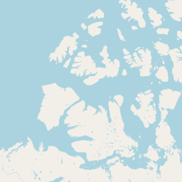 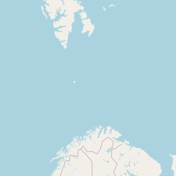      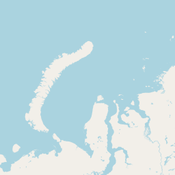    Leaflet | © OpenStreetMap The distance between cities calculated based on their latitudes and longitudes. This is also called distance as the crow flies. Bird flight distance is calculated by drawing a straight line between two point coordinates. The length of this drawn line will give the shortest distance value. This distance may be very much different from the actual travel distance. Berlin GPS Coordinates: Latitude: N 52° 31' 12'' Longitude: E 13° 24' 17.8'' Portland GPS Coordinates: Latitude: N 45° 31' 23'' Longitude: W 122° 40' 35.3'' Berlin Map, Where is Berlin located? Portland Map, Where is Portland located? |
Popular Searches from Berlin
- Berlin to Fordo flight time, duration and distance
- Berlin to Beijing flight time, duration and distance
- Berlin to Seoul flight time, duration and distance
- Berlin to Riyadh flight time, duration and distance
- Berlin to Moscow flight time, duration and distance
- Berlin to Moscow flight time, duration and distance
- Berlin to Amsterdam flight time, duration and distance
- Berlin to Antalya flight time, duration and distance
- Berlin to Edinburgh flight time, duration and distance
- Berlin to Los Angeles flight time, duration and distance
- Berlin to Tokyo flight time, duration and distance
- Berlin to Vienna flight time, duration and distance
- Berlin to Vienna flight time, duration and distance
- Berlin to Lanzarote flight time, duration and distance
- Berlin to Delhi flight time, duration and distance
- Berlin to Washington flight time, duration and distance
- Berlin to Belgrade flight time, duration and distance
- Berlin to Tokyo flight time, duration and distance
- Berlin to Frankfurt an der Oder flight time, duration and distance
- Berlin to Saint Petersburg flight time, duration and distance
Popular Searches from Portland
- Portland to Phoenix flight time, duration and distance
- Portland to Chicago flight time, duration and distance
- Portland to Houston flight time, duration and distance
- Portland to Phoenix flight time, duration and distance
- Portland to Las Vegas flight time, duration and distance
- Portland to Napili-Honokowai flight time, duration and distance
- Portland to San José del Cabo flight time, duration and distance
- Portland to Athens flight time, duration and distance
- Portland to Lisbon flight time, duration and distance
- Portland to Charlotte flight time, duration and distance
- Portland to Charlotte flight time, duration and distance
- Portland to New Zealand flight time, duration and distance
- Portland to Brisbane flight time, duration and distance
- Portland to Sydney flight time, duration and distance
- Portland to Salt Lake City flight time, duration and distance
- Portland to La Paz flight time, duration and distance
- Portland to Doha flight time, duration and distance